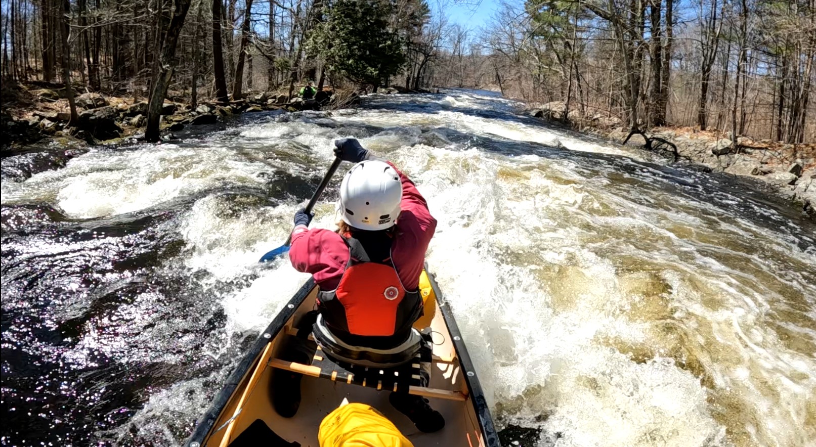
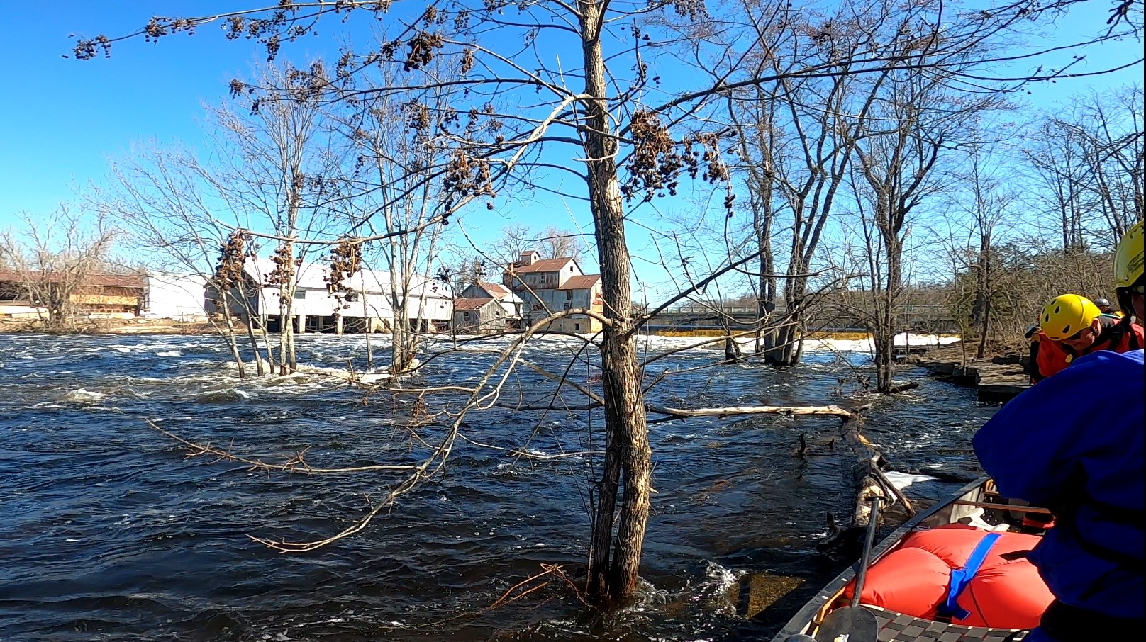
Whitewater

Upper Salmon River - Sunday April 27th - Is Now Full.

Outing Type → 

We will paddle the Upper portion of the Salmon River from Gull Creek (intersection with Hwy 15/Arden Road) to where the Salmon River intersects Woodcocks Mills Road, West of Hwy 15. Both the put-in and take-out are North of Tamworth.
Check out the WCA YouTube
https://www.youtube.com/watch?v=LllYMQ4OxVs

The Basics
Event Location

Put-in is at the Hwy 15 Bridge over Gull Creek

Date(s) & Time
Event Duration
5-6 hours
Difficulty Rating
Intermediate
Registration Cut Off
Wed April 23, 2025
Participant Info
Who's Invited
All WCA members and friends (they will need WCA waivers)
Maximum Group Size
10 people
Minimum Group Size
6 boats
Itinerary
Itinerary description

This event will occur on Sunday, April 27th, the day after Bill Ness' paddle of the Moira River. Those people joining Bill on April 26th are welcome to join us to camp the night of the 26th at a campsite on Gull Lake, just across from where we meet at 10am at the Hwy 15 Bridge across Gull Creek. Anyone wishing only paddle the Upper Salmon is welcome. Anyone wishing to skip the camping and go to a Motel/Hotel in Tamworth, is also welcome.
Bring a lunch and be prepared to be on the water until maybe 5 pm (likely earlier)

Required Items to Bring

You MUST have a complete wetsuit or legitimate drysuit, helmet, PFD, and whitewater boat (complete with bailers and floatation bags). If you are camping you should bring tent and cold weather sleeping bag and rain gear.
More details of this will be provided as the group comes together, with the use of a planning spreadsheet (you will be expected to complete your portion of it).

Recommended Items to Bring

Extra paddle, throw rope, flashlight, dry sac with extra dry warm clothing.

How to Get There
Event Directions

See 'description' - better details with GPS coordinates will be included on the spreadsheet that will be shared with each participant as you sign up for this paddle event.

Carpool Info

TBD

Other
Notes

More details to be provided as the group comes together. If you sign up, and you are paired up to paddle with someone, PLEASE try to communicate fully with that person before and during the day o f the paddle.
The organizer reserves the right to comment on the adequacy/safety of your paddle gear. If he thinks it is insufficient, you will be asked to NOT paddle the Upper Salmon on that day. Please come WELL PREPARED!

Cancellation Policy
Please notify me if you must cancel asap. There is no deposit.

Rouge River Creeking

Outing Type → 

We plan to paddle down the Rouge River from Milne Dam Conservation Park to about Meadowdale Road , approx. 18 kms.  Last year we did this in 6 hours, which included lunch.   I think this year we will take out at Finch.   This should be a total of 14 km. 
The water level was at 3.36m and it was a bump and grind adventure.   I am hoping to do the river at a higher level this year.   Generally, the river was a classic class 1 to 1.5 creek, with lots of obstacles.
You will need a whitewater boat and prepared to jump in and out of your boat to get around sweepers and downed trees,rocks, etc.
Real-Time Hydrometric Data Graph for ROUGE RIVER NEAR MARKHAM (02HC022) [ON] - Water Level and Flow - Environment Canada (ec.gc.ca)
If you are looking for a canoe partner or canoe to sit in, let me know, and I will try and coordinate connected people with canoes with people looking for a canoe.  Send me an email or call me.
Check out last years YouTube video
https://www.youtube.com/watch?v=SIglq057Rn0


The Basics
Event Location

Rouge River Markham

Date(s) & Time
Event Duration
6 hours
Difficulty Rating
Novice
Registration Cut Off
4/11/2025 at 1 pm
Participant Info
Who's Invited
Everyone with a whitewater canoe
Maximum Group Size
4 boats
Minimum Group Size
2 boats
Itinerary
Itinerary description

Put In 8:30 am
Place 2 cars at Finch takeout (limited parking). Or drivers share an Uber ride back to put in to pick up their cars.
Start 9 am at Milne Dam Conservation Park
Lunch ~12 1/2 hour
4-5 hours paddle
2-3 pm Takeout. Drivers shuttle back to putin to collect their vehicles.
3-4 pm vehicle shuttle to pick up everybody at Finch.

Required Items to Bring

Whitewater boat and gear
Dry or wet suit
water/food

Recommended Items to Bring

Water/food
Extra clothes if you go for a swim.

How to Get There
Event Directions
Carpool Info

See me

Other
Notes

n/a

Cancellation Policy
Only sign up if you are 100% sure you will come.

Black River at Washago--Trip Full

Outing Type → 

The Black River empties into Lake Simcoe south of Washago. There is a fun short section from the HWY 169 bridge crossing to the next concession road crossing to the west where the river loops around through many small rapids separated by flat sections. The section ends with an optional more challenging technical chute, followed by a Class 2 rollercoaster ride. This is an ideal spot for budding moving water paddlers to get some experience, and practice ferries and eddy turns. I'm happy do give informal pointers, and we're in no rush. The section of river is short enough that if you get cold or wet, you can quickly paddle out. However, if you want to work the section, you can play all afternoon. As a bonus, we meet at 11:00 so you don't have to haul yourself out of bed early to get there. We'll also finish around 3:00, so plenty of time to get back to the family dinner. Bring a lunch and we'll eat on the river. As the water will still be cold, you will need a dry suit or wet suit. This is a relaxed day of paddling play & practice on a fun, forgiving stretch of river.
 

The Basics
Event Location

Black River south of Washago

Date(s) & Time
Event Duration
1 day
Difficulty Rating
Novice
Participant Info
Maximum Group Size
8 boats
Itinerary
Itinerary description

Please see above.

Required Items to Bring

Whitewater boat with air bag flotation. Drysuit or wetsuit. Bring a lunch in your boat as we will stop to eat on the river.

How to Get There
Event Directions

Those coming from the eastern GTA will take HWY 48 north to HWY 12. Then north on 12 to just past the village of Brechin, where you exit right onto HWY 169. Follow HWY 169 north for about 10 minutes to where the Black River goes under the highway.
Those coming from the western GTA will go north on HWY 400 to Barrie, and then continue north on HWY 11 to the exit for Washago at the north end of Lake Couchiching. Exit right onto HWY 169 and follow it south to the river.
For a signpost, look for Black River Wilderness Park on the west side of the highway. The park is just north of the river.
We put in on the northwest side of the bridge across the Black. Then, we do a quick 5 minute car shuttle to the bridge at the first concession road to the west.

Moira River--Trip Full

Outing Type → 

On a spring day, the Moira River north of Belleville provides a fun paddling trip from Lost Channel to Latta.
The river provides a great opportunity for good novice moving water paddlers to move up to an intermediate level river. We'll meet at Chisholm's Mill at 9:30, do a car shuttle, and then warm up the easier lower section down to Latta. The rapids are not difficult; just a fun rollercoaster ride, with some surfing waves along the way. We'll go back to Chisholm's for lunch at the cars, and then do a shuttle to run the more technical and challenging Lost Channel section. We should finish up around 4:00, and then we traditionally hit the nearby Maple Dale Cheese store along the highway for ice cream and cheese. (Real Canucks can buy cheese curds here for homemade poutine.)
 
All canoes must have full flotation, and you are required to have a full wetsuit or drysuit as the water will be cold. If you arrive without these, you will not be able to participate.
Please note that as at the time of posting the river levels and weather cannot be predicted, the date could be changed if levels are not suitable or the weather is inclement. I like to play, and float along chatting with people. My idea of a fun outing isn't paddling in freezing rain muttering to each other "don't worry, we'll soon be finished if we hurry." So if you sign up, you needn't worry that you are committing to a survival exercise-just a fun day.
 

The Basics
Event Location

Moira River north of Belleville

Date(s) & Time
Event Duration
1 day
Difficulty Rating
Intermediate
Participant Info
Maximum Group Size
8 boats
Itinerary
Itinerary description

We'll meet in the parking area by the river across the bridge from Chisholm's Mill at 9:30. Full day's itinerary is above.

Required Items to Bring

Full floatation for canoes as well as a wet suit or dry suit for all paddlers is required. If you show up without these, you cannot participate.
Lunch can stay in car. Just bring any snack or drink that you may want for the morning or afternoon runs.

How to Get There
Event Directions

Take Exit #544 north (HWY 39) from Hwy 401 at Belleville. Coming from the west, the exit is right after you go over the Moira River. Go north to the village of Roslin. Turn right onto Shannonville Rd. Go about 2 km and you will see the mill and the river. Go over the bridge and turn right into the parking area.
https://maps.app.goo.gl/qKwLYSzVhAoAJvBr8

Lower Credit River (Pinecliff Park, Streetsville to Erin Mills Park) Short TRIP FULL

Outing Type → 

Join me on this classic early spring favourite of Toronto area paddlers. We’ll catch the Credit in Pinecliff Park, Streetsville and run down to Erin Mills Park.   There is bridge construction down river so we have to exit here.
The river is a delightful continuous Class 1 to 2 with lots big bouncy wave trains and play spots.There are loads of opportunities to practice easy ferries and eddy turns as we work our way down the river. However, downed trees over the winter can create sweepers, and participants need to be able to manoeuvre a canoe in moving water to avoid them.
As well, the water will be cold. You need solid basic moving water skills. A full wetsuit or a drysuit is required to participate (no exceptions). Boats should have air bags in them.
We'll have a late lunch on the river at Erin Mills so bring something to eat. We usually finish the trip around 3 PM.
Water levels; April 4, 2025 the water level is 5.4m /( in flood).  Predicting by April 6, 25 the water level will be ~5.2m (in flood). .  I did the river in 2019 at 5.3m level and it was in flood and big standing waves in the corners (these can be avoided with some planning you turns).
If you are looking for a canoe partner or canoe to sit in, let me know, and I will try and coordinate connected people with canoes with people looking for a canoe.  Send me an email or call me.


The Basics
Event Location

Lower Credit River, Pine Cliff Park, Streetsville to Erin Mills Park

Date(s) & Time
Event Duration
1 day
Difficulty Rating
Intermediate
Registration Cut Off
04/05/2025 at 6 pm
Participant Info
Who's Invited
Solo and tandom whitewater canoes
Maximum Group Size
12 boats
Minimum Group Size
2 boats
Itinerary
Itinerary description

We meet at the put-in at 9:30 am in Pinecliff Park in Streetsville N43.6009, W79.7197
https://maps.app.goo.gl/53ed22eMMnGWhejP8
Takeout on the river at Erindale Park N43.5468, W79.6542
https://maps.app.goo.gl/mG2xVswTEVdB4zTJ7

Required Items to Bring

Whitewater canoe with air bags or kayak. The water is 5C cold!!!. Wetsuit or drysuit. Lunch/water

Recommended Items to Bring

For lunch, a thermos is recommended as weather can be cool and rainy.
Spare clothes in a dry bag, if you decide to swim some of the river.

How to Get There
Event Directions

See GoogleMaps Links above

Carpool Info

Shuttle to Take out.
We will coordinate at Streetsville putin on Sunday morning.

Other
Notes

None

Cancellation Policy
Only sign up if you are 100% sure you will attend

Ottawa River Rocher Fendu - save the date (logistics and camping arrangements TBD)

Outing Type → 

We will run the river on Saturday, camp on Saturday night, then do a second run on Sunday. Come for 1 day or both. Logistics to be worked out, but we will likely camp at Owl Rafting or Wilderness Tours. Rapids range from class 2-4 and most of the major rapids have easy scouting, portage trails and a pool at the end of each rapid to pick up swimmers and gear. We will run the middle or main channels pending group interest and water levels. This site has a good description of the river: https://paddlingmaps.com/trip/Ontario/45-main-channel https://paddlingmaps.com/trip/Ontario/46-middle-channel

The Basics
Event Location

Beachburg ON area

Date(s) & Time
Event Duration
2 days - Saturday and Sunday
Difficulty Rating
Intermediate
Registration Cut Off
Week before
Participant Info
Who's Invited
Intermediate and advanced canoers and kayakers
Maximum Group Size
No max
Minimum Group Size
2 people
Itinerary
Itinerary description

Meet Saturday at 10:30 am at the Owl rafting put-in near Beachburg ON, run shuttle and do a ~4-6 hour run down either the main or middle channel.
Camping on Saturday night at one of the rafting facilities.
Sunday - aim to be the river by 9AM and off the river by 3PM

Required Items to Bring

Whitewater canoe or kayak and gear. Helmets mandatory. Canoe and kayak flotation mandatory. Throw bag recommended.
Disclaimer -there are some very big waves and holes and tripping canoes are likely to become immediately swamped in some rapids. Recommend that canoes install bow, stern and middle flotation and bring an extra-large bailing container

Recommended Items to Bring

Car camping gear, meals, on-river lunches. [Breakfasts or dinners may be available at Owl or Wilderness Tours pending our logistics]

How to Get There
Event Directions

Put in - Owl Rafting put in near Beachburg Ontario
https://maps.app.goo.gl/fcW93WnfS8CS14YB9
Take-out - Wilderness Tours or Owl Rafting pending where we camp

Carpool Info

TBD

Other
Cancellation Policy
n/a -

BigHead River - Meaford ON CANCELLED

Outing Type → 

Spring Run on the BigHead River located in Meaford Ontario Open to river runners and whitewater paddlers with experience in moving water. Paddlers should have experience in spotting sweepers and Strainers and avoid it. Meet 10 AM at Joe Park https://www.google.com/maps/place/Beautiful+Joe+Park/@44.6035876,-80.59… Drive to Put In: https://www.google.com/maps/place/44%C2%B034'33.1%22N+80%C2%B038'55.5%2… Take out: https://www.google.com/maps/place/44%C2%B036'13.5%22N+80%C2%B035'46.8%2…

The Basics
Event Location

Meaford

Date(s) & Time
Event Duration
Full Day
Difficulty Rating
Intermediate
Participant Info
Who's Invited
anyone with experience in whitewater
Maximum Group Size
8
Itinerary
Itinerary description

From Side Road 13 to Joe Park, depending water levels min. 11m3 We are planing a full day in the water, please bring water and food.

Required Items to Bring

-Personal clothing/layering
-Wetsuit or Drysuite
-Helmet
-Extra paddles
-Painters
-Throw bag
-Rescue Equipment
-Please bring food and water for a long day.

Recommended Items to Bring

Royalex canoes
neoprene mitts / gloves and socks

How to Get There
Event Directions

10 AM at Joe Park 162 Edwin St, Meaford, ON N4L 1E3

Carpool Info

TBC

Other
Notes

-paddler need to be confortable to paddle 35 KM day
-paddler need to know swiming and be confortable to swiming in rapids make Self rescue swim to shore or eddy.
-paddler need to be confortable to paddle in High Volume of water
-Paddler need to be confortable to paddle class 2 and 3 white water

Tuesday Paddle - High Water - South Central Ontario

Outing Type → 

Looking to paddle one of these seasonal paddling opportunities in Southern Ontario. Goal is to do the Speed river Below the Guelph Lake to Guelph. Back up plan is Woodstock to Ingersol (or beachville) on the South Branch of the Thames. I will monitor the flow levels to ensure it is safe to proceed with the trip.

The Basics
Event Location

Speed River

Date(s) & Time
Event Duration
6 hours
Difficulty Rating
Intermediate
Registration Cut Off
March 17, 2025
Participant Info
Who's Invited
Anyone that woud like to join, dry suits are a must. Challenges: Sweepers, cold and fast moving water, some whitewater sections class ii or lower
Maximum Group Size
6 boats
Minimum Group Size
1 boat
Itinerary
Itinerary description

Meet at 9 am, shuttle vehicles around. Get on the water and paddle down, stop to eat lunch and be done hopefully around 3 o'clock or hopefully even a bit earlier.

Required Items to Bring

dry suit, pfd, positive attitude

Recommended Items to Bring

Canoe, paddle, water, lunch

How to Get There
Event Directions

Can determine that the day before, first let's see if anyone is interested

Opeongo River (Crotch Lake to Aylen Lake) 1 June 2025 (REGISTRATION CLOSED)

Outing Type → 

Spring day trip from Crotch Lake to Aylen Lake. This day trip takes place the day after we are paddling the Lower Madawaska on 31 May. This is an advanced section of the river due to long sections of back to back whitewater. In order to attend this trip, you must also be registered for at least one of my spring-time runs on the Lower Madawaska so that I can see your paddling skills and equipment before we do this day trip on the Opeongo. Contact Joe Tobin if you would like to participate in this trip.

The Basics
Event Location

Opeongo River. Shall Lake access point.

Date(s) & Time
Event Duration
1 Day
Difficulty Rating
Advanced
Participant Info
Who's Invited
Paddlers who have been previously screened by me for suitable skills and equipment.
Maximum Group Size
6 boats, 12 paddlers
Minimum Group Size
2 boats, 4 paddlers
Itinerary
Itinerary description

Paddlers attending the Lower Madawaska trip on 31 May will leave Paddlers' Coop at 0800.
1000 Arrive Shall Lake Access Point
1000-1030 Boat prep
1030 Safety brief
1045 Launch
We will be off the river by no later than 1800.

Required Items to Bring

Wet/Drysuit, helmet, properly fitted PFD, paddles, whitewater boat with thigh straps, end bags, CENTRE AIR BAGS, bailer, closed toed shoes, whistles, throw bags & river knives, DRY BAG WITH WARM CLOTHES.
Required items will be inspected at safety briefing. Those without the required gear will not participate in this event.

Recommended Items to Bring

Lunch, water, warm clothes, sense of adventure, positive attitude.

Lower Magnetawan River - 17-21 May 2025 (REGISTRATION CLOSED)

Outing Type → 

We're doing the lower section of the Magnetawan River. There's a Blackfeather trip starting on the Upper section at the same time, so we're only doing the lower part of the river to keep our distance from the BF group.

The Basics
Event Location

Lower Magnetawan River (Maple Island to Georgian Bay)

Date(s) & Time
Event Duration
5 days
Difficulty Rating
Intermediate
Participant Info
Who's Invited
Any capable intermediate paddler with multi-day wilderness trip experience
Maximum Group Size
6 tandem boats. No solo boats
Minimum Group Size
3 tandem boats
Itinerary
Itinerary description

Rough itinerary as follows:
17 May Day 1: Put in Maple Island to Deep Bay
18 May Day 2: Deep Bay to Trout Lake
19 May Day 3: Trout Lake to Ledge-y Rapid
20 May Day 4: Ledge-y Rapid to Miners Lake
21 May Day 5: Miners Lake to Georgian Bay / Take Out

Required Items to Bring

Wet/Drysuit, helmet, PFD, paddles, whitewater boat with outfitting and floats, closed toed shoes, safety equipment. Warm clothing and sleeping gear in drybags.

Recommended Items to Bring

Will be discussed as a group on Zoom.

How to Get There
Event Directions

Will be discussed as a group.

Other
Notes

Deposit will be required to register. To be discussed over Zoom. Contact Joe Tobin for registration.