
Flatwater

A Kiosh Krazy Loop

Outing Type → 

Starting on Kioshkokwi Lake at the end of highway 630 along the North border of Algonquin Park, here is a laidback loop with lots of time to swim and relax. The first night will be on Kioshkokwi Lake, next night on Mink, then 2 nights on Mouse, and a final night on Whitebirch Lake. Breakfasts and dinners will be group meals and divided among participants. Lunch is “bring your own”. Equipment will also be divided to avoid unnecessary extra weight! Canoes can be rented just off highway 16 on highway 630.

The Basics
Event Location

Northwest Algonquin Park

Date(s) & Time
Event Duration
5 nights
Difficulty Rating
Novice
Registration Cut Off
July 15
Participant Info
Who's Invited
Paddlers who like to explore new routes in a group
Maximum Group Size
4 boats
Minimum Group Size
1 boat
Itinerary
Itinerary description

We will meet at the put in the afternoon of July 19th. The first night’s site will be on Kioshkokwi. The next day we will pack up and move to Mink Lake (2 portages) Day 3 finds us on Mouse Lake (2 portages) for 2 nights. Day 5 we paddle and portage (3 portages) to Whitebirch Lake. Day 6 we paddle back to the put in on Kioshkokwi after a unique experience!

Required Items to Bring

Canoe - if necessary, paddlers can be paired up

Tent, sleeping bag, mat, clothing, personal items. Own lunch and assigned meal(s) for the total number of participants. 

Group Equipment will be assigned and divided up.

How to Get There
Event Directions

The entrance to Kioshkokwi is off highway 17. If you are coming from the south, go North on highway 11, then turn right onto #94 to Corbeil, then right onto #17 and right again onto #630…

Consult a road map if you are coming from any other direction!

Carpool Info

Carpooling is encouraged. I live North of North Bay and am happy to bring anyone along the route with me!

Other
Notes

I prefer email and texting over phone calls but if you want to discuss the trip, please text first so I know your phone number. 

I have a 2 person canoe so I can accommodate another paddler!

Temagami - Lady Evelyn Lake Aug 10-15

Outing Type → 

We are doing a loop in Lady Evelyn Lake launching from Mowat Landing. We are calculating ~56km of paddling with ~3km of Portage through Lady Evelyn Smoothwater Provincial Park and Crown Land. This will be our 5th trip of this type. We have 3 people ages 25, 50, 60 and we are looking for up to 3 more but no more than 2 more tents.

We will setup a call to go over trip planning once we have a group. We will share the work and costs of the trip.

We typically have a few rules which we have found help us find like minded folks: no phones except for photos, no food/drink in containers that can't be burned, we use garbage as fire starters and no drugs in our group. If this is ok with you and you are interested please reach out.

We have never done this route - its an adventure! Correct us on our difficulty rating if you know better.

The Basics
Event Location

Mowat Landing

Date(s) & Time
Event Duration
5 nights
Difficulty Rating
Novice
Registration Cut Off
July 24
Participant Info
Who's Invited
Like minded folks up for an adventure
Maximum Group Size
3 boats
Minimum Group Size
1.5 boats
Itinerary
Itinerary description

Details to come

Required Items to Bring

To be discussed

Recommended Items to Bring

To be discussed - own tent, sleeping bags required

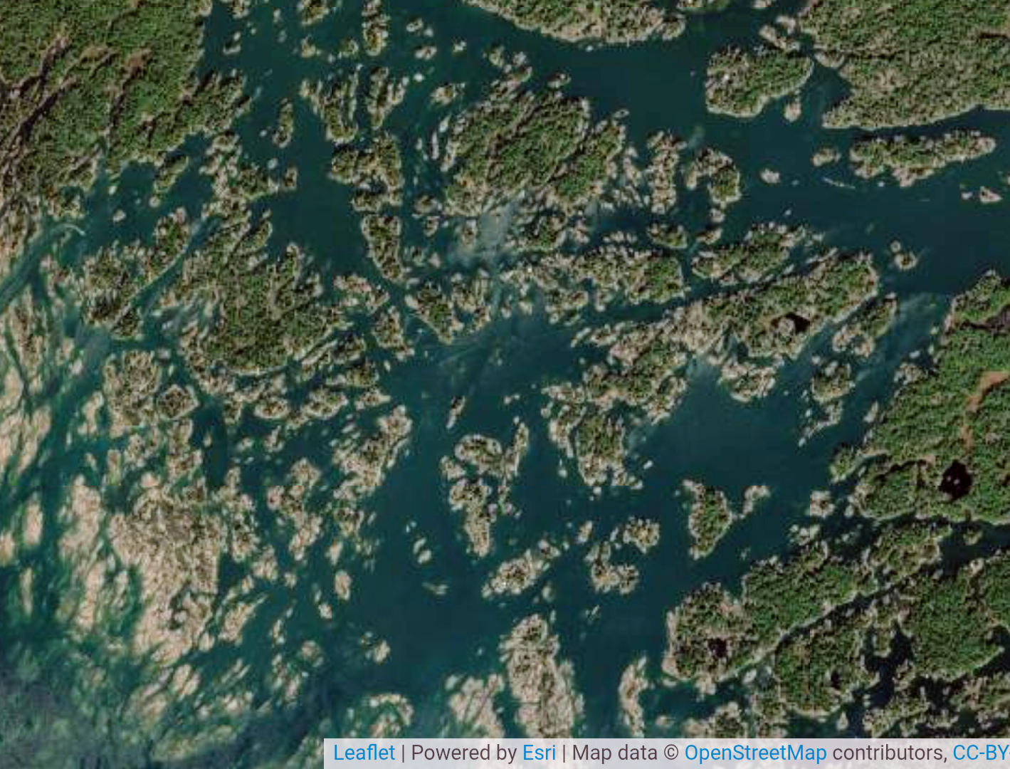
Another Georgian Bay weekend, June 13-14

Outing Type → 

We had a great time on Georgian Bay the past weekend and the bugs were so much better out on the bay compared to the other horror reports I've received. I expect the bugs to be worse in two weeks' time but it should still be much better than going anywhere else in Northern Ontario right now.

As such, I am planning another Georgian Bay paddling and camping weekend for June 13-14, exploring the maze of islands and channels of the Georgian Bay coast.. We will choose our launch point - somewhere north of Parry Sound - according to weather conditions to avoid significant exposure to wind and waves. On Saturday night we will camp on crown land, taking care to minimize our impact on this sensitive ecosystem.

Anticipated daily distance is 20-30 km; we will navigate by map and compass to visit some points of interest in the area, for example, as described in Kas Stone's book "Paddling and Hiking the Georgian Bay Coast". Due to the distance and unpredictable weather on Georgian Bay, this trip is rated as Intermediate. We will avoid dangerous conditions but you should still be very comfortable paddling in wind and waves to give yourself a margin of safety for the unexpected.

The Basics
Event Location

Georgian Bay, somewhere north of Parry Sound

Date(s) & Time
Event Duration
2 days
Difficulty Rating
Intermediate
Itinerary
Itinerary description

Saturday 9 am - pick up rentals from White Squall if needed
Arrive at launch point (TBD) around 10 am

Required Items to Bring

Cold water safety: change of clothes in case of immersion
Camping gear
Sun protection
Bug protection

Recommended Items to Bring

Map case and compass (I will print out paper maps for everyone of the area we are paddling)

How to Get There
Carpool Info

Can be arranged

Pigeon River to Lakefield

Outing Type → 

Flatwater trip - paddling up the Pigeon River to join the Trent Severn Canal, and eventually making our way to Lakefield.  Camping 2 nights at the locks, and 1 night at Emily Provincial Park. Interested parties can join us just for the weekend, or more.  We can workout group cooking if necessary, or people can be soloists if they wish.  

I probably will eat dinner out in Bobcaygeon Sunday night, at a pub, etc.  (its a glamping trip after all!)

The Basics
Event Location

Intersection of the Pigeon River and St. Mary's Rd. (10 km up from Omemee, Ontario), and then paddle to Lakefield.

Date(s) & Time
Event Duration
2 to 4 days as desired
Difficulty Rating
Intermediate
Registration Cut Off
June 7
Participant Info
Who's Invited
All WCA members and friends (they will need WCA waivers)
Maximum Group Size
12 people
Minimum Group Size
2
Itinerary
Itinerary description

June 13 - Day one - will involve a shuttle of cars from the Put In on Pigeon River, to move the cars to my home in Lakefield.Camping that night at Emily Provincial Park.  

June 14 - Day 2 - we paddle north to Bobcaygeon on Pigeon Lake and camp at the lock there.  
June 15 - Day 3 - we paddle east into Little Bald Lake, and further east into Catalina Bay Resort.  From there we do a 0.8 km portage across hwy 36 and jump onto the Mississagua River.  We then paddle down this river into Lower Buckhorn Lake.  Finally we camp either at Wolf Island Provincial Park (free) or at Lovesick Lake Lock (#30).  

June 16- Day 4 - we paddle east and south through the canal to finish in Lakefield.

** Note - You can join me for all or a part of my trip.  I am doing the whole thing and would welcome anyone else. Just note, I am only organizing a shuttle from the beginning to the end.  If you wish to do less of the trip you'll have to organize your own details.

Required Items to Bring

Canoes or Kayaks, bailer, PFDs, extra paddle per boat, camping gear, Warm clothing and rain gear.  Note at this time of year the water may still be cold.  This is the Kawarthas, and there may be some bugs out, but as we are on the canal it should be breezy. 

Recommended Items to Bring

TBD - bug spray? - bug jacket

How to Get There
Event Directions

Put in: 44.2424977, -78.6511794)

Take Out ... my home in Lakefield (exact details to participants)

Carpool Info

TBD

Other
Notes

TBD

Cancellation Policy
I will need a commitment to the campsites in Emily PP - no refunds last minute.

Georgian Bay paddling and navigation weekend, May 30-31

Outing Type → 

Update: registration is closed; please stay tuned for more trips in the future!

When the bugs get thick in the bush, paddling and camping on Georgian Bay provides a welcome relief from the worst of it. The plan is to launch from one of the marinas in Pointe au Baril or Bayfield Inlet and spend a weekend exploring the maze of islands and channels of the Georgian Bay coast. We will avoid significant exposure to wind and waves, choosing our route according to the weather conditions and group ability. On Saturday night we will camp on crown land, taking care to minimize our impact on this sensitive ecosystem. Anticipated daily distance is 20-30 km; we will navigate by map and compass to visit some points of interest in the area, for example, as described in Kas Stone's book "Paddling and Hiking the Georgian Bay Coast". Due to the distance and unpredictable weather conditions on Georgian Bay, this trip is rated as Intermediate.


The Basics
Event Location

Pointe au Baril or Bayfield Inlet; details TBD

Date(s) & Time
Event Duration
2 days
Difficulty Rating
Intermediate
Itinerary
Itinerary description

Saturday 9 am - pick up rentals from White Squall if needed

10 am - arrive at marina

Required Items to Bring

Cold water safety: change of clothes in case of immersion

Camping gear

Sun protection

Bug protection

Recommended Items to Bring

Map and compass

POSTPONED! Madawaska River Flatwater - Calabogie to Burnstown

Outing Type → 

POSTPONED due to recent freeze.

Join me for an early season day trip on the flatwater section of the Lower Madawaska River. This trip will run from Cherry Point Picnic Area east of Calabogie all the way to Burnstown Beach. It's a nice, calm and accessible 13km stretch of flatwater. 

The Basics
Event Location

Cherry Point Picnic Area, https://maps.app.goo.gl/2TzLT7rWJ1JAV8jHA

Date(s) & Time
Event Duration
4-5 hours
Difficulty Rating
Beginner
Registration Cut Off
30 March 2026
Participant Info
Who's Invited
Any club member or guest with suitable equipment.
Maximum Group Size
10 boats
Minimum Group Size
2 boats
Itinerary
Itinerary description

We'll meet up at the take out, Burnstown Beach for 1030. https://maps.app.goo.gl/vaJWq21TGvgGJ7ix7

We'll then leave some cars at the take out and drive to the put in at Cherry Point Picnic Area.

Should be off the water by 3 pm.

Required Items to Bring

Late March should be very close to ice-out, so dry suits are appropriate. Wet suits only for the brave.

Standard Transport Canada safety gear required.

Recommended Items to Bring

Dress for colder weather. Bring a bagged lunch.

Season warm-up - Humber River and Lake Ontario

Outing Type → 

Easy and local flatwater paddle before tackling the harder stuff this year.  Good chance to test out new purchases and make sure that the drysuit still fits ok. 

The Basics
Event Location

Kingsmill Park Etobicoke

Date(s) & Time
Event Duration
3 hours
Difficulty Rating
Novice
Registration Cut Off
Day before
Participant Info
Who's Invited
Canoers and kayakers
Maximum Group Size
None
Minimum Group Size
2
Itinerary
Itinerary description

1 pm: put in 

Head south down the Humber River, then paddle east along the lake behind the breakwater.  

Return back to put in 

4 pm: takeout at the very latest


Required Items to Bring

The water is going to be extremely cold - suggest that you dress for potential immersion and wear a wetsuit or drysuit. 


Recommended Items to Bring

Transport Canada safety equipment 

Water, snack

Some extra warm clothes, a hat and gloves

How to Get There
Event Directions

Parking lot at Kingsmill park, just South of the Old Mill Hotel and directly underneath the Old Mill Subway Station.  https://maps.app.goo.gl/FmDRDVHVieVxGJpQ6


Carpool Info

n/a

Other
Notes

If someone needs a canoe partner - happy to team up, and also supply the canoe.  Otherwise, I will bring the sea kayak

Minesing Wetlands Adventure: Willow Creek Launch to Edenvale

Outing Type → 

Note:  this outing is fully subscribed so the registration has been turned off.  Please contact the organizer to get on the wait list.  It is reasonably likely that a spot or two will become open.

______________


This one-day 18km trip will take us down the Willow Creek into the heart of the Minesing Wetlands (designated internationally significant), through an often flooded silver maple forest, and onto the Nottawasaga River, ending up at Edenvale Conservation Area. Scenery is highly dependent on water levels, which can vary greatly depending on the time of travel and spring runoff. You may need to get out and pull your boat at some places in the heart of the wetland.


The outing will take place on Saturday May 2nd and time on the water will be approximately 10am to mid-afternoon, with a break for lunch.

The Basics
Event Location

George Johnston Rd, Minesing, ON L0L 1Y0, Canada 44.422132, -79.823497

Date(s) & Time
Event Duration
One Day
Difficulty Rating
Beginner
Registration Cut Off
Friday, May 1st, 2026
Participant Info
Who's Invited
WCA members, etc.
Maximum Group Size
8 boats
Minimum Group Size
1 boat
Itinerary
Itinerary description

Gather at Willow Creek Boat launch by 9am, and unload boats and gear. By 9:30am, shuttle cars to Edenvale Conservation area. Parking fees at the boat launch and Edenvale can be paid using a mobile phone app (HotSpot). Aiming to be on the water by 10am.


Required Items to Bring

Required Items to Bring
-- Standard safety gear for your canoe
-- Appropriate footwear for getting out in shallow spots or pulling over logs
-- Lunch / drinks / snacks for trip
-- Seasonally appropriate clothing, to deal with wind/rain/cold/wet
-- Be prepared to improvise for bathroom needs; firm ground is sporadic
 

Recommended Items to Bring

Recommended Items to Bring

-- Sunscreen / bug spray

-- GPS / compass

-- binoculars

How to Get There
Event Directions

2302 George Johnston Rd (Simcoe County Road 28), about 2km south of community of Minesing, ON L0L 1Y0, Canada

44.422132, -79.823497


Carpool Info

Carpool Info

Car shuttle will take vehicles to Edenvale Conservation Area on Highway 26 (44.453896, -79.902065).

Other
Notes

Outing risks include unpredictable conditions and exposure in middle of marsh, cold water, challenging navigation, no short-cuts out, potential for strainers on Nottawasaga River (but slow current due to limited change of elevation).

Cancellation Policy
Event will occur rain or shine; reassess day before if weather forecast is awful

Car Camping + Flatwater Day Paddle at Algonquin: Aug 1-3

Outing Type → 

Interested in introducing camping and flatwater canoeing to kids in your life?

It's my first time introducing my 8 year old son to camping and canoeing and I'm looking for people in a similar situation! 

I have space for 3-4 people on my trip as the maximum capacity at a Ontario Parks car camping site is 6 people.  I am a party of 2. 

You can rent the camping essentials + canoe at Algonquin Outfitters so not to worry if you don't have any equipment.

I booked 1 site at Rock Lake campground and you are encouraged to book a site as well. Please reach out to Susanna (s_q_wong@yahoo.ca) for more details. 

The Basics
Event Location

Rock Lake (or similar) in Algonquin Park

Date(s) & Time
Event Duration
3 days
Difficulty Rating
Beginner
Registration Cut Off
July 6, 2026 (or when full)
Participant Info
Who's Invited
All campers and paddlers with kids in your life between the ages of 5-12. This is a trip for beginners.
Maximum Group Size
4 people
Minimum Group Size
2
Itinerary
Itinerary description

Itinerary is just a suggestion. There's no shuttles to catch and no firm schedule. Canoes are rented on a per day basis and Algonquin Outfitters does a great job at dropping off and picking up the canoes at either your campsite or at the canoe launch.

Saturday Aug 1:
5 pm - arrive at Rock Lake campsite. Set up camping equipment.
I will try to arrive by 3 pm but I recognize that traffic will be busy as it is a long weekend.
6 pm - group dinner. Prepare your meal at your leisure. I have a camping stove you can use.
No plans after dinner.

Sunday Aug 2:
a flexible day which can be filled with a paddle out on Rock Lake. Rock Lake is a great destination to have a glimpse of an interior (backcountry) camping as there's backcountry sites on the same lake, and depending on interest and paddling ability, we can practice what a portage is like.

Monday Aug 3:
2 pm - check out deadline for campsite. You may wish to leave earlier as traffic will be challenging.


Required Items to Bring

Tent, sleeping gear, your personal utensils and plates, clothing, toiletries.

See note below on renting.

For those new to camping, here is a suggested list:
https://www.mec.ca/en/explore/camping-checklist
focus on the sections: kitchen and cooking (your own utensils and plates), outdoor essentials, clothes and shoes, personal stuff.
I have a full kitchen set.


About rentals:

you can rent most of the items under: sleep and shelter, campsite set-up.
https://algonquinoutfitters.com/rental/camping-hiking/


I will be renting a canoe from Algonquin Outfitters as I don't have my own boat. 
https://algonquinoutfitters.com/rental/canoes/


You are free to bring your own canoe/kayak/SUP board. 


the campsite I booked does have electricity.
 

How to Get There
Carpool Info

There's no carpooling for this event as I have a small car.

Humber River & Lake Ontario

Outing Type → 

Paddle at a very leisurely pace to the Humber marsh to look at birds and turtles, then paddle in Lake Ontario behind the breakwater toward the East before heading back to the put-in.  

2-3 hours pending how far we go

The Basics
Event Location

South Kingsway Boat Launch, Toronto

Date(s) & Time
Event Duration
2-3 hours
Difficulty Rating
Beginner
Registration Cut Off
Day of
Participant Info
Who's Invited
Anyone
Maximum Group Size
No max
Minimum Group Size
2 people
Itinerary
Itinerary description

Meet at South Kingsway boat put in - 1 pm

https://maps.app.goo.gl/qduqSYWW9w8396YF8

Take out at the same spot 3 or 4 pm

How to Get There
Event Directions

Go down the hill to the river just past the Petro Canada off South Kingsway


https://maps.app.goo.gl/qduqSYWW9w8396YF8


Other
Notes

If someone needs a partner, I can bring the tandem canoe.